Map of Broadway & the Cotswolds
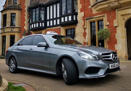
The village of Broadway is situated at the foot of Fish Hill in the far south-east of the county of Worcestershire, located along the western Cotswold escarpment. It is centrally located in the West Midlands region making it easy to reach from anywhere in the UK or overseas, whether you're travelling by car, train, bus or plane. If you need to arrange transport to the village there is a range of local taxi companies who would be more than willing to help.
» Arriving by Car
Whether you're travelling from the north or south of the UK, Broadway is easy to find by car. For Sat Nav directions, use the postcode address WR12 7DT to navigate to Broadway's High Street, or alternatively look for the A44 and follow the signs to Broadway.
» Arriving by Train
If you're planning to arrive by train, the closest and most convenient stations are Evesham, Honeybourne and Moreton-in-Marsh. They are all within a short drive from Broadway, however Evesham and Moreton-in-Marsh offer a better bus service with frequently running buses taking you into the village.
» Arriving by Plane
The nearest International Airport to Broadway is Birmingham International. Other airports that are close to the Midlands region are East Midlands, Bristol and Coventry.
Use the map below for a more detailed look at where Broadway is located within Worcestershire and the Cotswolds.
If you wish to find out the weather forecast in Broadway for your visit, please see our weather in Broadway page.


